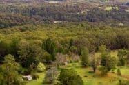
Birdsland Reserve is an amazing getaway tucked away between Lysterfield Lake Park and Belgrave. This bushland reserve is best known for its rich birdlife and diverse species of native animals.
The reserve’s rich history points to its significant place in the region’s heritage, making it a popular location for both locals and visitors in the area.
Birdsland Reserve Walking Tracks, Fishing & Maps, Belgrave Heights
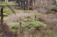
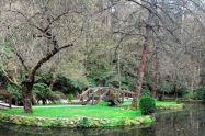
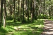
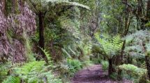
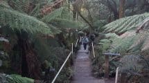
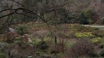
For a stunning location that is just 40 kilometres from the city, Birdsland Reserve makes for an exciting destination. Of the 75 hectares on which the reserve is located, 28 hectares is occupied by the basin area that comprises two placid lakes, a native nursery, and numerous walking trails that cut across the bushland.
Enjoying walks around the scenic lakes in the reserve is an enjoyable way to wind down the day. The birdlife in Birdsland Reserve is fascinating there are over 130 species of native birds here including the Powerful Owl and the Wedgetail Eagle, which are common across the bushland.
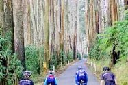
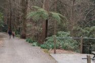
With many walking tracks to choose from, bushwalkers are spoilt for choice. The most popular walk, one that offers stunning views, is also the shortest at just 3 kilometres. This loop is loved by families as it is not too challenging for kids to cycle. Many families love to spend time here on weekends and public holidays too. Add to this the BBQ facilities provided and it is easy to see why this is a favourite spot. Dogs are permitted but must remain on a leash.
Birdsland Reserve is located on Mt. Morton Road in Belgrave South. The reserve opens at 7:30am daily but closing times vary depending on the seasons. The reserve remains closed on days of the total fire ban.


























Is there a walking trail map of Birdsland Reserve?
Hi Margaret,
I have scoured many sites on the web, and although there are no specific maps of Birdsland Reserve itself, most walking trails around the area that are referenced seem to belong to the far north-est of Lysterfield Park – which is actually just over a creek from Birdsland Reserve.
You can see the map over at https://www.dandenongrangespoint.com.au/wp-content/uploads/2015/07/Lysterfield-Park-Map.jpg – paying attention to the Dargon Track and the ones surrounding it.
Hope this helps.
Thanks
Michael