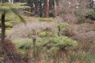
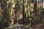
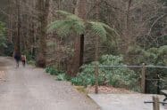
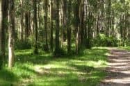
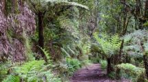
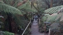
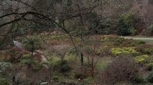
Eastern Sherbrooke Forest Walk is located in the verdant Sherbooke rainforest and is one of the region’s most spectacular destinations for bushwalking.
The forest is located just 40 kilometres from the Melbourne CBD and is part of the Dandenong Ranges National Park.
Eastern Sherbrooke Forest Walk, Address Location & Hiking Map, VIC
Nature lovers will appreciate the numerous animal species found in the forested areas. These include possums, wombats, wallabies and echidnas among others. Bird lovers will enjoy spotting the different bird species that include corella, the Australian magpie, the common blackbird as well as the crescent honeyeater. Lyrebirds are found in abundance in this forest and it is fascinating to listen to these ground-dwelling birds mimic the calls of other birds and natural sounds in the forest.
Start off the walk at Grants Picnic Ground, on the left of the kiosk. While there is no signage indicating that this is the Eastern Sherbrooke Forest Walk, there is a sign that points to the Lyrebird Track. The first few kilometres are rather easy with ample forest cover, making this part of the track popular with many visitors.
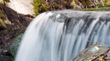
The track then travels along Paddy Track Junction and Hardy Creek as well as Welch Track with parts from this point being quite steep. It is therefore recommended only for experienced walkers. Once at the top of Welch Track, there is a right turn that leads up to Coles Ridge Track which is a relief because it is far gentler. The Coles Track leads up to the parking area.
It is advisable to carry a hat and sunscreen as well as water and snacks as there is nowhere to purchase along the track. To get to Eastern Sherbrooke Forest Walk, take a train to Belgrave station and then board the bus on route 663 before getting off at Kallista.














Do You Have a Question to Ask?